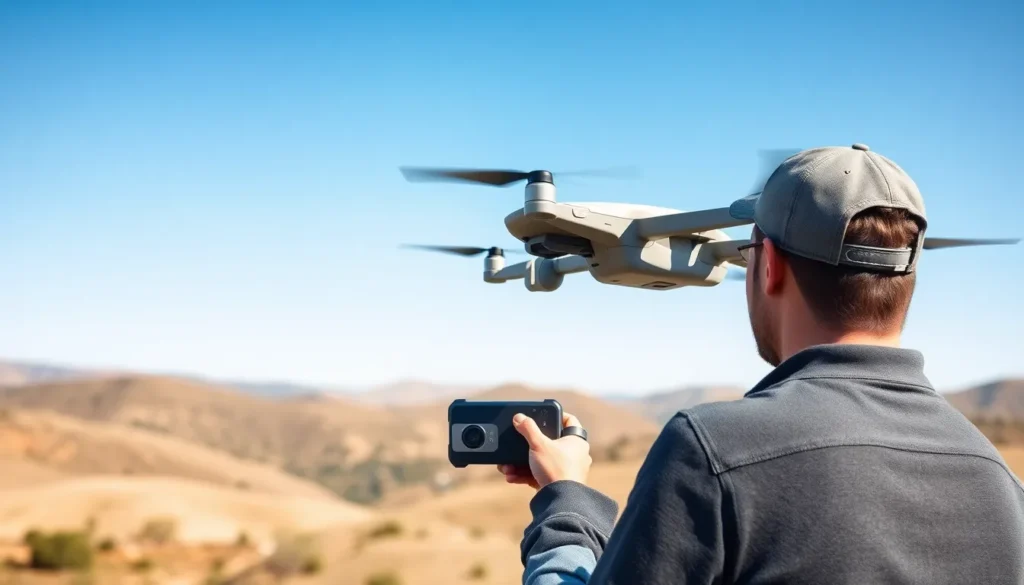

In a world where drones are buzzing around like caffeinated bees, keeping track of them can feel like herding cats. Enter drone GPS tracking, the superhero of the skies. This technology not only helps pilots avoid the dreaded “where did my drone go?” moment, but it also ensures safety and efficiency in their aerial adventures.
Imagine soaring through the clouds while your trusty GPS keeps you in the loop, guiding you like a wise old sage. Whether it’s for capturing breathtaking aerial shots or delivering tacos to your doorstep, knowing exactly where your drone is can turn a potential disaster into a success story. With drone GPS tracking, the skies are not just the limit—they’re your playground.
Overview of Drone GPS Tracking
Drone GPS tracking plays a vital role in the effective management and navigation of unmanned aerial vehicles. This technology offers pilots real-time location data, enhancing both safety and efficiency during drone operations.
What is Drone GPS Tracking?
Drone GPS tracking refers to the technology that utilizes Global Positioning System signals to determine and transmit the precise location of a drone. This system collects coordinates through satellites, allowing operators to monitor their drones from any distance. Both consumer and commercial drones frequently integrate GPS modules, providing real-time data that can be crucial for various applications such as aerial photography, mapping, and delivery services.
Importance of GPS Tracking in Drones
GPS tracking holds significant importance in drone operations. First, it prevents drones from becoming lost by enabling pilots to pinpoint their exact location at all times. Second, this technology aids in route optimization, allowing pilots to select the most efficient paths for deliveries or surveys. Third, it increases accountability for drone usage by providing a timeline of flights and locations. Ultimately, GPS tracking contributes to a safer, more organized approach to flying drones, benefiting both hobbyists and professionals alike.
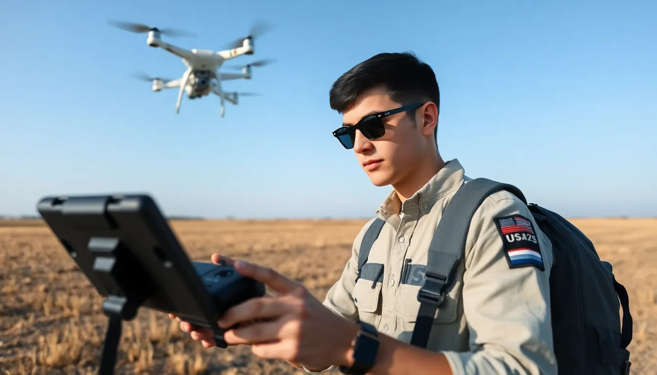
Types of Drone GPS Tracking Systems
Drone GPS tracking systems vary in purpose and functionality, catering to both consumer and commercial needs.
Consumer vs. Commercial GPS Tracking
Consumer GPS tracking systems focus on recreational drone use. They help hobbyists track their drones during flight and enable them to retrieve lost devices. In contrast, commercial GPS tracking systems serve businesses that utilize drones for tasks like delivery and surveillance. These systems provide enhanced features like advanced route planning and fleet management capabilities. By ensuring higher accuracy and reliability, commercial GPS systems play a crucial role in optimizing operational efficiency.
Real-Time Tracking vs. Historical Data Tracking
Real-time tracking provides immediate location updates for drone operators. This functionality allows users to monitor their drones during flight, ensuring they stay on course. Historical data tracking, however, records the drone’s movements over time. This data helps operators analyze previous flights and enhance future performance. While real-time tracking focuses on current flight situations, historical data tracking supports assessment and strategy adjustment for long-term improvements. Both tracking types offer vital insights, depending on user needs and objectives.
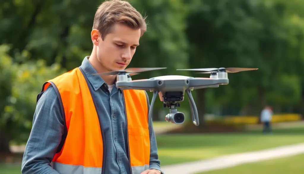
Benefits of Drone GPS Tracking
Drone GPS tracking provides critical advantages that enhance operational efficiency. With precise location information, it supports improved navigation and safety.
Improved Navigation and Safety
Accurate GPS signals guide drones, ensuring they follow designated flight paths. Pilots benefit from real-time location updates, which help prevent collisions with obstacles. Increased situational awareness fosters safer operations, especially in congested areas. Having the ability to establish geofencing parameters, operators can restrict flight areas, further minimizing risks. Enhanced recovery options exist for lost drones through tracking capabilities, which significantly reduce the chances of permanent loss.
Enhanced Delivery and Logistics
Utilizing drone GPS tracking streamlines delivery processes for businesses. Customers receive accurate delivery times thanks to real-time tracking data, leading to improved satisfaction. Logistics managers can monitor and optimize flight routes, thus reducing delivery times by up to 30%. Efficient fleet management becomes possible as businesses track multiple drones simultaneously, ensuring maximum operational efficiency. Tracking historical flight data also provides valuable insights into performance, enabling continuous improvement in logistics strategies.
Challenges in Drone GPS Tracking
Drone GPS tracking faces several challenges that can impact its efficiency and reliability.
Environmental Factors Affecting GPS Accuracy
Weather conditions present a significant barrier to accurate GPS tracking. Rain, snow, and fog can weaken GPS signals, leading to position inaccuracies. Urban areas with tall buildings create a phenomenon known as “signal multipath,” where signals bounce off structures, causing further errors. Additionally, dense forests can block signals, resulting in partial or complete loss of connectivity. These environmental factors can hinder real-time tracking, which is crucial for safe operations.
Regulatory and Privacy Concerns
Various regulations oversee drone operations and GPS tracking. Operators must navigate complex laws that vary by region and country, which can limit tracking capabilities. Privacy issues arise when tracking systems capture data about individuals and properties. Unauthorized tracking could lead to significant legal consequences and public backlash. Compliance with regulations is essential to avoid penalties while ensuring user trust and safety. Following established guidelines protects both operators and the public, fostering a more responsible use of drone technology.
Future Trends in Drone GPS Tracking
Emerging trends in drone GPS tracking indicate a significant evolution in technology and applications. The integration of advanced technologies plays a vital role in enhancing the capabilities of drone GPS systems.
Integration with Advanced Technologies
Integration with advanced technologies shapes the future of drone GPS tracking. Companies are increasingly adopting 5G networks, which provide faster data transmission, facilitating real-time updates. Cloud computing enhances storage and processing capabilities, allowing for better data management. Improved sensors contribute to more accurate location tracking in challenging environments, such as urban areas or dense forests. Collaboration between drones and IoT devices enhances monitoring and control, streamlining fleet management for businesses.
The Role of AI and Machine Learning
The role of AI and machine learning revolutionizes drone GPS tracking. Algorithms analyze vast amounts of data to optimize flight paths, ensuring efficiency in operations. Predictive analytics identifies potential obstacles, enhancing safety during flights. Automation powered by AI improves response times for real-time tracking issues or emergencies. Machine learning algorithms continue to evolve, learning from past flight data to improve future performance. Enhanced user experiences stem from personalized insights generated through AI, offering tailored solutions for drone operators.
Drone GPS tracking is a game changer for both hobbyists and professionals. It enhances safety and efficiency by providing real-time location data and optimizing flight paths. With features like geofencing and automated recovery options, pilots can navigate complex environments with confidence.
As technology evolves, the integration of AI and advanced sensors is set to revolutionize how drones operate. This not only improves tracking accuracy but also streamlines fleet management for businesses.
Embracing drone GPS tracking means embracing a future where aerial operations are safer and more efficient. The potential benefits are vast and continue to grow, making it an essential tool in the ever-expanding world of drone technology.